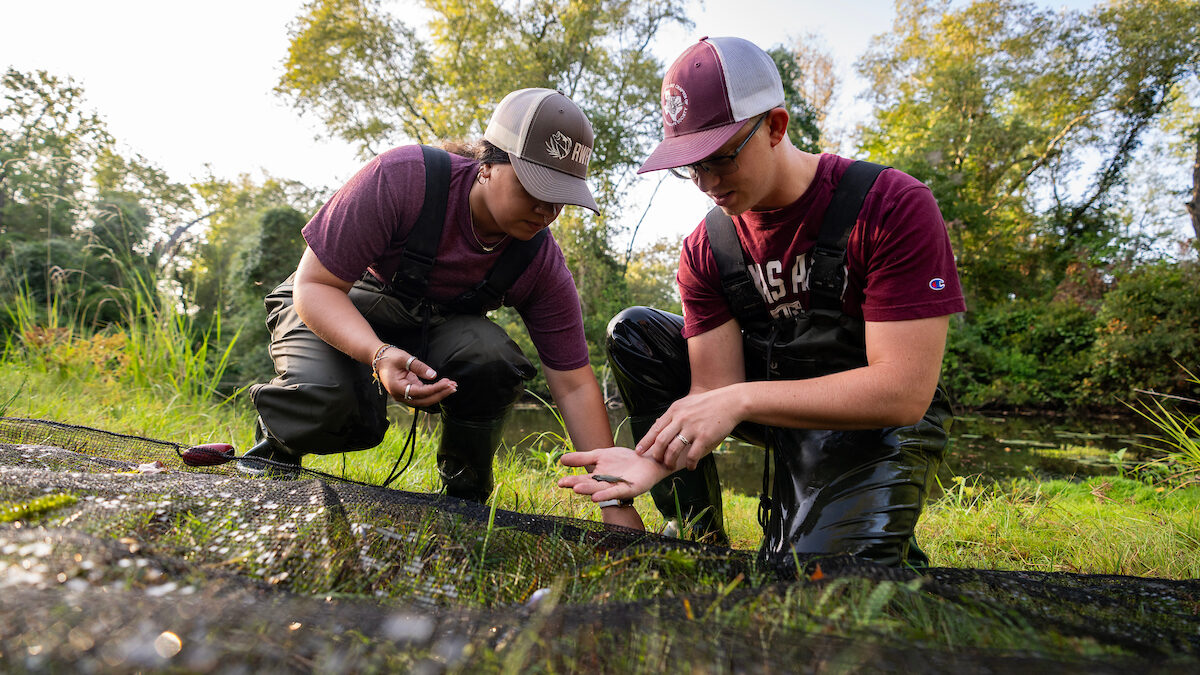
Department of Agricultural Economics
Weather powered by HAMWeather.
Enter your "Place, State", US Zip Code or ICAO:  
NowCast ZoneCast Warnings/Advisories Hourly Track Special Radar
College Station, Texas (77840)  Lat: 30.63N, Lon: 96.33W
Wx Zone: TXZ196 ICAO Used: KCLL
Current Conditions
Updated: UNKNOWN
Sun & Moon Information
Fair
Fair
Temp: N/A
Humidity: N/A
Wind Speed: N/A
Barometer: N/A
Dewpoint: N/A
Heat Index: N/A
Wind Chill: N/A
Civil Twilight: 6:31 AM CST Moon Phase:
First Quarter Moon
Sunrise: 6:57 AM CST
Sunset: 5:25 PM CST
Civil Twilight: 5:50 PM CST
Forecast for College Station, Texas:
Dated: 320 PM CST MON NOV 23 2009    Expires: 415 AM CST TUE NOV 24 2009
7 Day View   
TONIGHTTUESDAYTUESDAY
NIGHT
WEDNESDAYWEDNESDAY
NIGHT
Chance
Of
Showers
Isolated
Showers
Partly
Cloudy
Mostly
Sunny
Mostly
Clear
Lo: 55°F Hi: 61°F
Lo: 41°F Hi: 65°F
Lo: 41°F
Pop: 30% Pop: 30%
ZoneCast:
Dated: 320 PM CST MON NOV 23 2009    Expires: 415 AM CST TUE NOV 24 2009
Includes the Counties: Brazos

Includes the cities: Bryan, College Station

Tonight...Partly cloudy in the evening...Then mostly cloudy with a 30 percent chance of showers after midnight. Patchy fog after midnight. Lows in the mid 50s. South winds 5 to 10 mph.

Tuesday...Patchy fog early in the morning. Mostly cloudy with scattered showers in the morning...Then partly cloudy with isolated showers in the afternoon. Cooler. Highs in the lower 60s. North winds 10 to 15 mph. Chance of rain 30 percent in the morning Decreasing to 20 percent in the afternoon.

Tuesday Night...Partly cloudy early in the evening then becoming mostly clear. Colder. Lows in the lower 40s. North winds 5 to 10 mph.

Wednesday...Mostly sunny. Highs in the mid 60s. North winds 5 to 10 mph.

Wednesday Night...Mostly clear. Lows in the lower 40s. North winds around 5 mph.

Thanksgiving Day...Mostly sunny. Highs in the mid 60s.

Thursday Night...Mostly clear. Lows in the upper 30s. Highs in the mid 60s.

Friday...Mostly clear. Lows in the upper 30s. Highs in the mid 60s.

Friday Night...Mostly clear in the evening then becoming partly cloudy. Lows in the mid 40s.

Saturday...Partly cloudy with a 20 percent chance of showers. Highs in the lower 70s.

Saturday Night...Mostly cloudy with a 20 percent chance of showers. Warmer. Lows in the lower 60s.

Sunday...Mostly cloudy with a 30 percent chance of showers and thunderstorms. Highs in the lower 70s. Lows in the lower 50s.

Sunday Night...Mostly cloudy with a 30 percent chance of showers and thunderstorms. Highs in the lower 70s. Lows in the lower 50s.

Monday...Mostly cloudy in the morning then becoming partly cloudy. A 30 percent chance of showers and thunderstorms. Cooler. Highs in the upper 50s.


Powered By HAMweather.
Copyright © 2001 - 2003 HAMweather, LLC, all rights reserved.

US Forecasts are Public Domain and derived from the
National Weather Service - (IWIN) and the National Oceanic Atmospheric Administration (NOAA)
Canadian forecasts are obtained from and are copyright of Environment Canada.